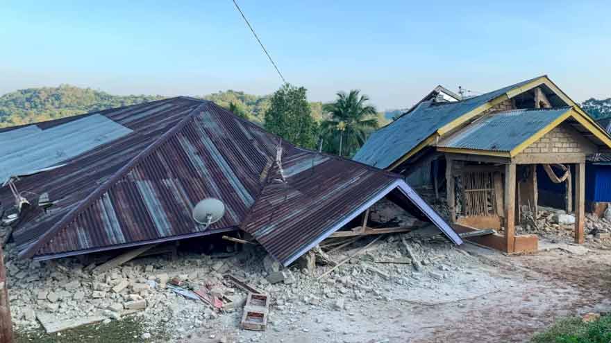
JAKARTA, 15 August, 2026 (Ghufran): Indonesia issued a local tsunami warning on Saturday morning after a powerful 7.7-magnitude earthquake struck near the centre of the archipelago, prompting authorities to urge residents to stay away from beaches and riverbanks.According to the US Geological Survey (USGS), three aftershocks measuring 5.9, 5.6 and 6.1 in magnitude followed the initial earthquake. Indonesia’s Meteorology, Climatology and Geophysics Agency said the shallow undersea quake occurred near Flores Island and urged residents along affected coastlines to move to higher ground. Australian authorities said there was no tsunami threat to the country across the Timor Sea. Initial USGS estimates indicated that casualties and damage were possible, although the Indonesian government had not yet released an official assessment. The USGS PAGER system estimated that around 500,000 people were exposed to very strong or severe shaking, which could cause slight to moderate damage to well-built structures and severe damage to poorly constructed buildings.
Indonesia has experienced several devastating earthquakes in the past due to its location along the Pacific Ring of Fire, one of the world’s most seismically active regions. The catastrophic Indian Ocean tsunami in 2004 was triggered by a magnitude-9.1 earthquake off Indonesia’s Sumatra Island, killing more than 220,000 people across countries bordering the Indian Ocean, with more than half of the victims in Indonesia. In August 2018, a magnitude-6.9 earthquake struck Lombok, killing hundreds of people, while a series of powerful earthquakes later that month affected several islands in the South Pacific and Indonesia. In September 2018, a magnitude-7.5 earthquake and tsunami struck Sulawesi, killing hundreds more. In November 2022, a magnitude-6.5 earthquake hit the Cianjur region of West Java, also resulting in hundreds of deaths.